Press kit
Press contact
Promo codes for review are available on request, as are full-resolution PNGs and screenshots in German, French, Italian, Spanish and Japanese. Replies come from the developer.
Fact sheet
- App
- EasyGeotag
- Developer
- Alessandro Trupo, independent developer, Singapore
- Platforms
- iPhone (iOS 18+), iPad (iPadOS 18+), Mac (macOS 15+)
- Released
- 22 September 2026 · current version 1.0.5
- Price
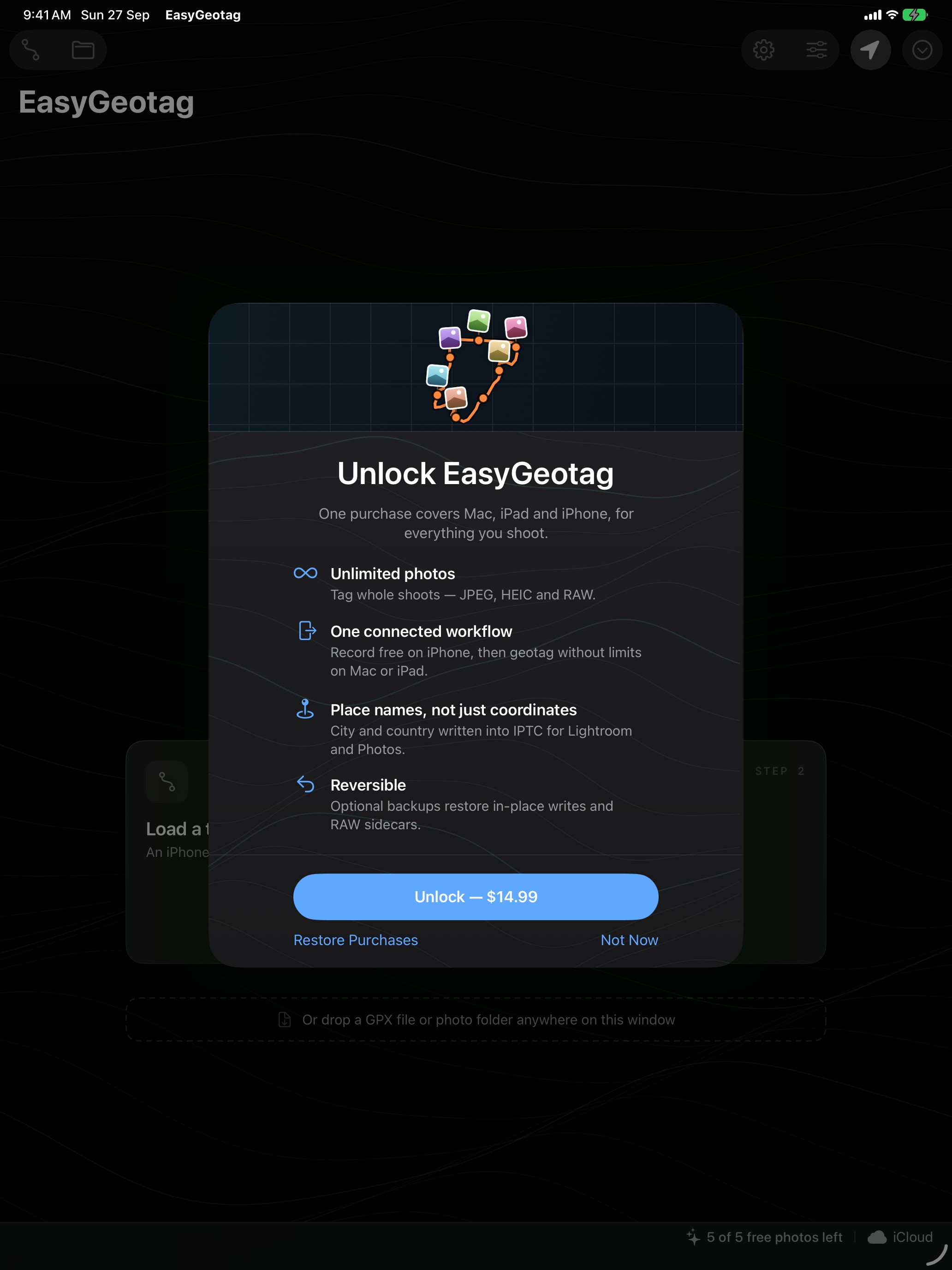
- Free download. Trip recording on iPhone is free; five photos can be geotagged free. One in-app purchase (US$14.99) unlocks unlimited geotagging on Mac and iPad, with Family Sharing. No subscription.
- Languages
- English, German, French, Italian, Spanish, Japanese
- Category
- Photo & Video
- App Store
- apps.apple.com/app/easygeotag/id6800774972
- Website
- easygeotag.app
In one sentence
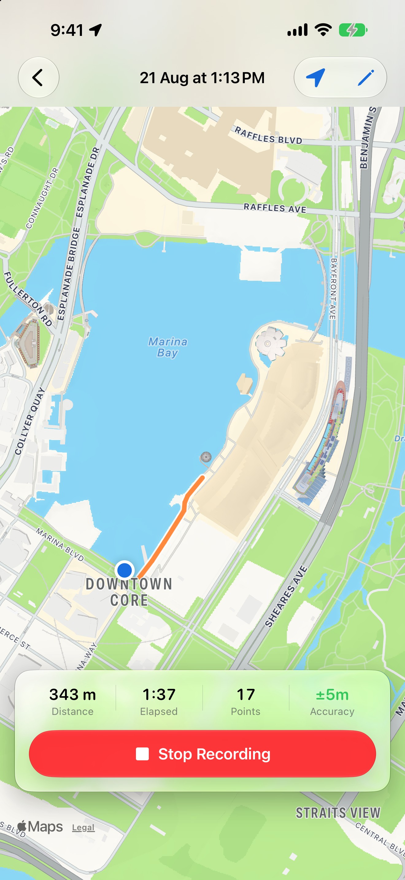
EasyGeotag turns an iPhone into the GPS a camera doesn’t have: the phone records where you go, and the Mac or iPad writes those locations into your photos.
In one paragraph
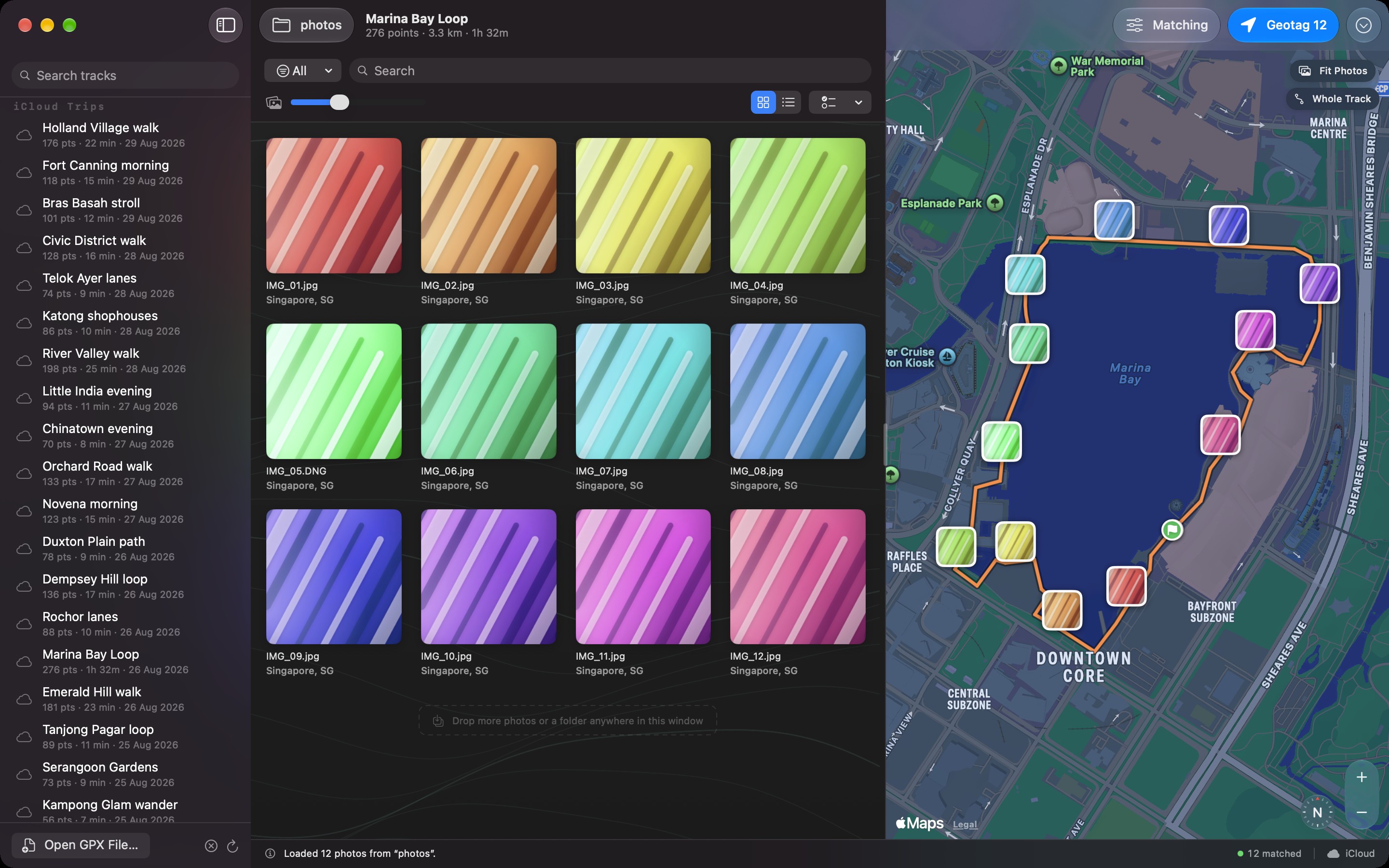
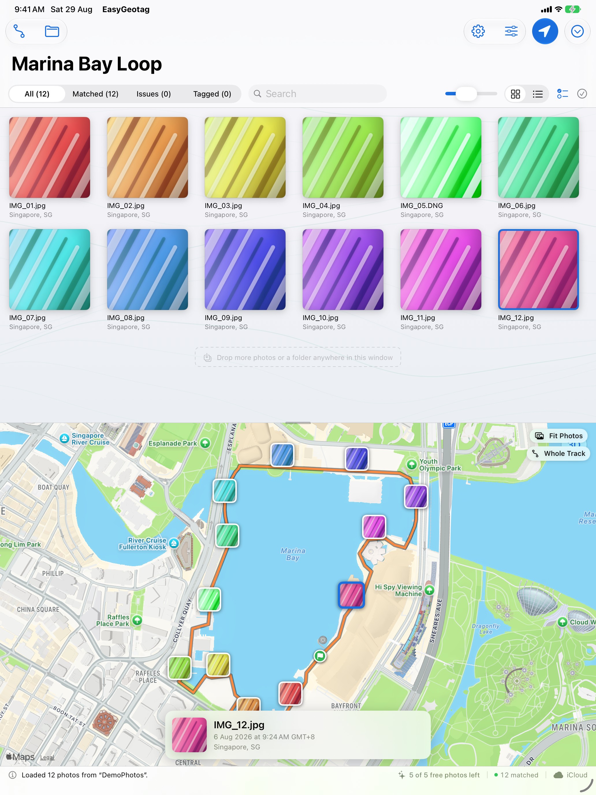
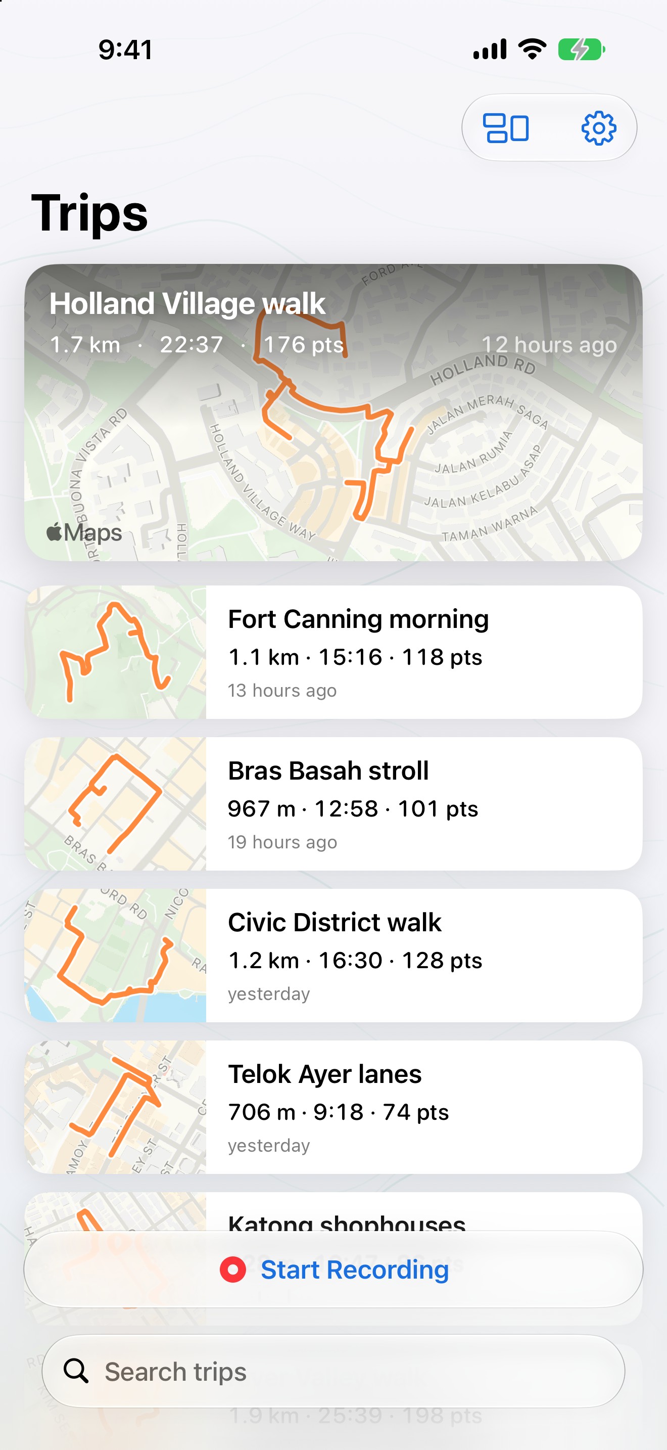
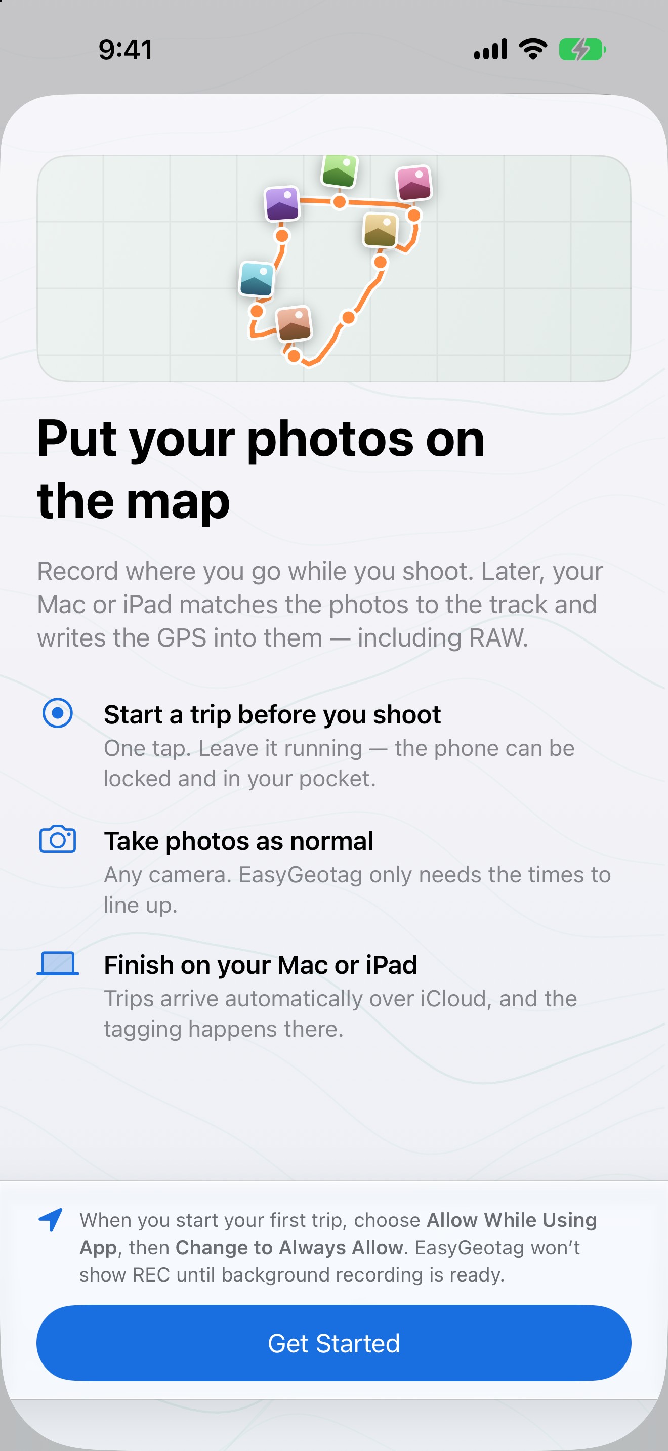
Most dedicated cameras still have no GPS, and the Bluetooth location link in camera makers’ apps drops out easily. EasyGeotag takes the reliable route: the iPhone records a GPS track in your pocket while you shoot, and afterwards the Mac or iPad matches every photo to where it was taken by its capture time. It writes the coordinates, altitude and the city, region and country into JPEG, HEIC and RAW files — in place on the Mac with a bundled ExifTool, as XMP sidecars on iPad — so Lightroom, Apple Photos and other libraries can find photos by place. It also reads GPX files from Garmin devices and other loggers.
What sets it apart
- Phone as logger, any camera. Nothing has to stay connected to the camera, so a dropped Bluetooth link cannot lose a photo’s location.
- Honest matches. Every photo shows how far it was from the nearest real GPS fix, and positions are interpolated between fixes.
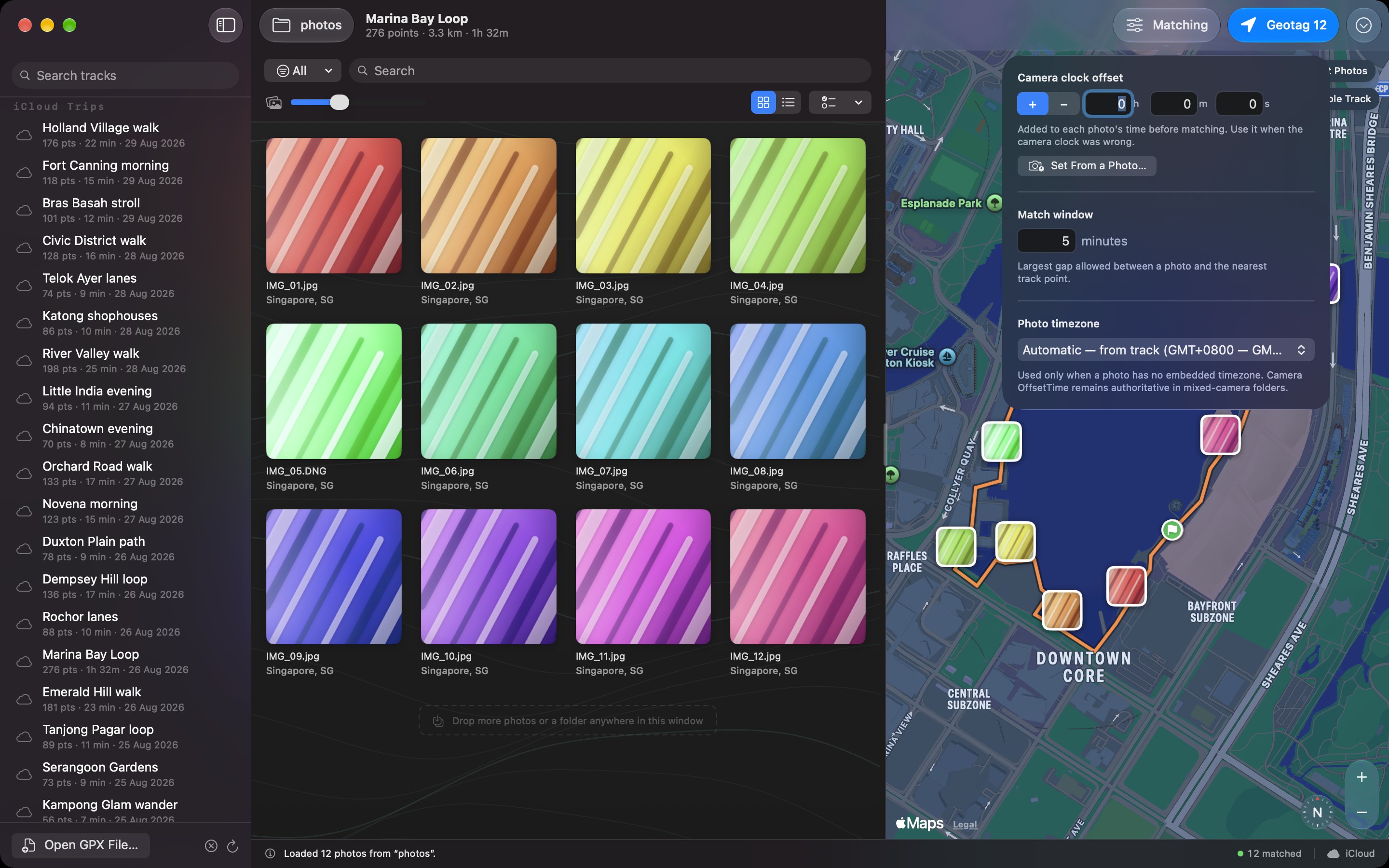
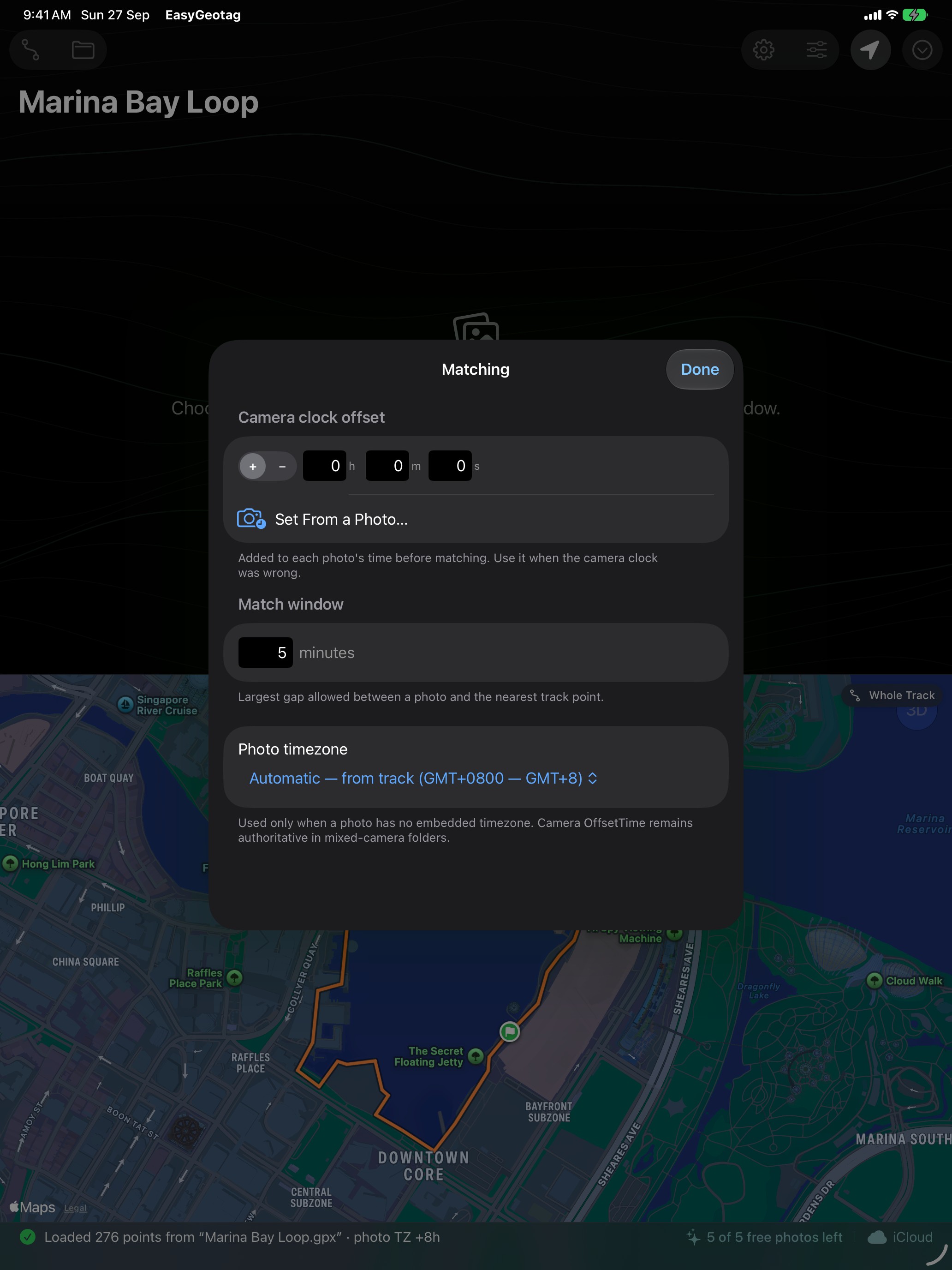
- Clock problems solved. Camera clock drift is corrected to the second from one photo of the phone’s clock; embedded camera timezones are respected in mixed-camera folders.
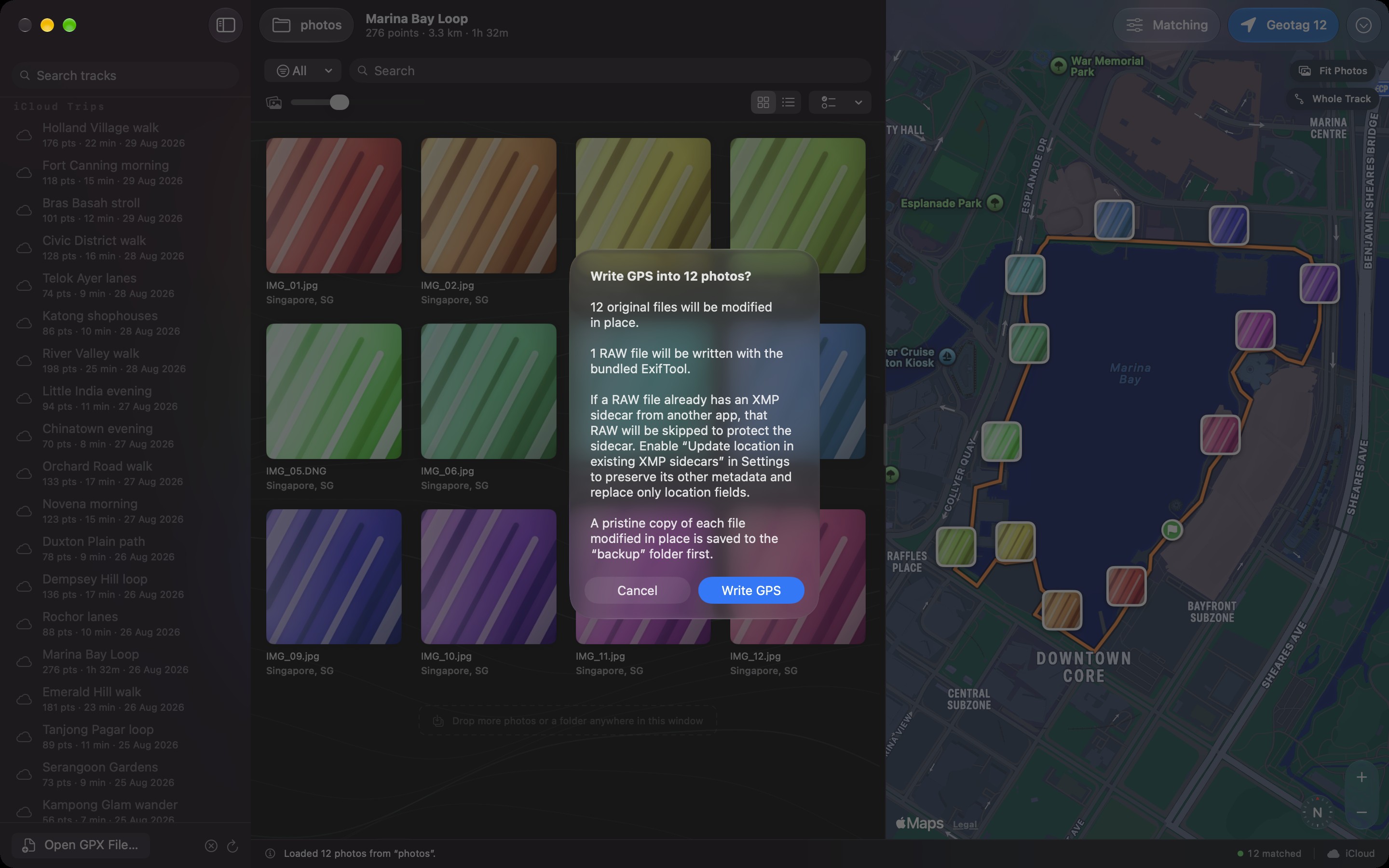
- RAW done properly. NEF, CR3, ARW, RAF, DNG and more, written in place on Mac; non-destructive XMP sidecars on iPad.
- Reversible. Originals are backed up before writing and can be restored at any time.
- Private. No account, analytics or advertising. Photos, tracks and locations stay on the user’s devices and in their own iCloud.
- One purchase, three platforms. Universal purchase across Mac, iPad and iPhone; recording is always free.
Screenshots
Download all screenshots and the icon (ZIP, 4.3 MB)
Full-size JPEGs below; click a preview to open it.
Mac
iPad
iPhone
App icon
PNG, 1024 × 1024. Please don’t alter the icon or add effects to it.
Background
EasyGeotag is built natively in SwiftUI for iPhone, iPad and Mac, and syncs trips through the user’s own iCloud account. The only server it uses is a small counter that keeps the free demo to five photos per Apple Account; it receives no photos, filenames or locations. The guides explain the workflow in more depth.